 KERABAN LE TETU
Current Status
Where is the vessel?
KERABAN LE TETU is currently in Near Barentsburg, based on AIS data received about 14h ago.
Latest AIS update:
Current position: 78.11536° N, 13.88031° E (Near Barentsburg)
Average speed (last 7 days): Loading…
Average speed (last 30 days): Loading…
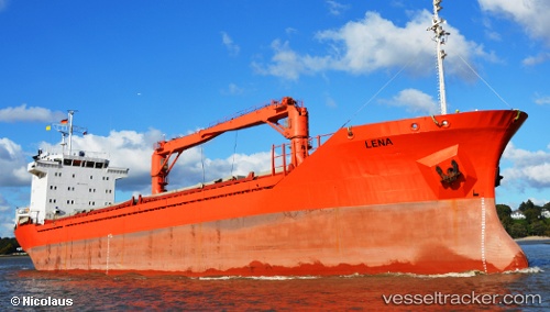
Vessel profile: KERABAN LE TETU is a General Cargo with dimensions m x m.
This page combines live AIS, route history, probable destination signals, nearby traffic, and port activity for practical vessel monitoring.
The current position of vessel KERABAN LE TETU is 78.11536 lat / 13.88031 lng. Updated: 2026-05-21 04:02:26 UTCNearest reference points:
- Near Longyearbyen
Currently sailing under the flag of Malta ![]()
Details:
Live Vessel KERABAN LE TETU Analytics (details, animations, etc.)
Recent AIS points (UTC):
2026-05-21 04:02:26 UTC · 78.11536, 13.88031 · SOG 6.2 kn · COG -1°2026-05-21 04:02:26 UTC · 78.11536, 13.88031 · SOG 6.2 kn · COG -1°
2026-05-21 04:02:26 UTC · 78.11536, 13.88031 · SOG 6.2 kn · COG -1°
2026-05-21 04:02:26 UTC · 78.11536, 13.88031 · SOG 6.2 kn · COG -1°