 SANTA CRUZ
Current Status
Where is the vessel?
SANTA CRUZ is currently in 13 nm NW of Porsuk, based on AIS data received about 1d ago.
Latest AIS update:
Current position: 0.10235° N, 0.19145° W (13 nm NW of Porsuk)
Average speed (last 7 days): Loading…
Average speed (last 30 days): Loading…
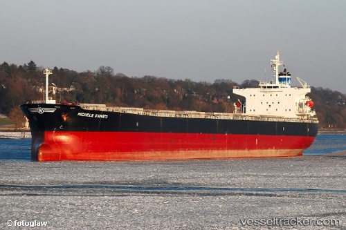
Vessel profile: SANTA CRUZ is a Bulk Carrier with dimensions 225m x 32m.
This page combines live AIS, route history, probable destination signals, nearby traffic, and port activity for practical vessel monitoring.
The current position of vessel SANTA CRUZ is 0.10235 lat / -0.19145 lng. Updated: 2026-05-21 09:24:39 UTCNearest reference points:
- Near Porsuk
- Near SAO LUIS
- 66 nm N of SAO LUIS
Currently sailing under the flag of Liberia ![]()
SANTA CRUZ built in 2005 year
Deadweight:
76440 tDetails:
Live Vessel SANTA CRUZ Analytics (details, animations, etc.)
Recent AIS points (UTC):
2026-05-21 09:24:39 UTC · 0.10235, -0.19145 · SOG 0.1 kn · COG 18°2026-05-21 09:24:39 UTC · 0.10235, -0.19145 · SOG 0.1 kn · COG 18°
2026-05-21 09:24:39 UTC · 0.10235, -0.19145 · SOG 0.1 kn · COG 18°
2026-05-21 09:24:39 UTC · 0.10235, -0.19145 · SOG 0.1 kn · COG 18°