 Longwave
Current Status
Where is the vessel?
Longwave is currently in 15 nm SW of Helgoland, based on AIS data received about 14h ago.
Latest AIS update:
Current position: 54.05351° N, 7.49642° E (15 nm SW of Helgoland)
Average speed (last 7 days): Loading…
Average speed (last 30 days): Loading…
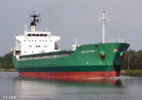
Vessel profile: Longwave is a General Cargo Ship with dimensions 136m x 136m.
This page combines live AIS, route history, probable destination signals, nearby traffic, and port activity for practical vessel monitoring.
The current position of vessel Longwave is 54.05351 lat / 7.49642 lng. Updated: 2026-05-21 04:25:37 UTCNearest reference points:
- Near Helgoland
- Near Wangerooge
- Near NORDERNEY
Currently sailing under the flag of Netherlands ![]()
Longwave built in 2004 year
Deadweight:
13777 tDetails:
Live Vessel Longwave Analytics (details, animations, etc.)
Recent AIS points (UTC):
2026-05-21 01:22:36 UTC · 54.05280, 7.49784 · SOG 0 kn · COG 246°2026-05-21 01:40:34 UTC · 54.05289, 7.49784 · SOG 0 kn · COG 241°
2026-05-21 03:55:35 UTC · 54.05338, 7.49705 · SOG 0 kn · COG 205°
2026-05-21 04:25:37 UTC · 54.05351, 7.49642 · SOG 0 kn · COG 184°