 ASPHALT ALLIANCE
Current Status
Where is the vessel?
ASPHALT ALLIANCE is currently in Near Hulaylah Terminal, based on AIS data received about 15h ago.
Latest AIS update:
Current position: 26.01722° N, 55.93692° E (Near Hulaylah Terminal)
Average speed (last 7 days): Loading…
Average speed (last 30 days): Loading…
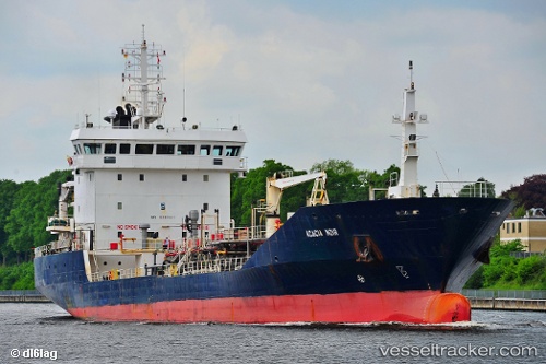
Vessel profile: ASPHALT ALLIANCE is a Bitumen Tanker with dimensions 105m x 16m.
This page combines live AIS, route history, probable destination signals, nearby traffic, and port activity for practical vessel monitoring.
The current position of vessel ASPHALT ALLIANCE is 26.01722 lat / 55.93692 lng. Updated: 2026-07-15 13:45:59 UTCNearest reference points:
- Near Hulaylah Terminal
- Near Stevin Rock
- Near Rak Maritime City
Currently sailing under the flag of Panama ![]()
ASPHALT ALLIANCE built in 2004 year
Deadweight:
5850 tDetails:
Live Vessel ASPHALT ALLIANCE Analytics (details, animations, etc.)
Recent AIS points (UTC):
2026-07-15 10:07:38 UTC · 26.01500, 55.93667 · SOG 0 kn · COG -1°2026-07-15 11:25:02 UTC · 26.01595, 55.93773 · SOG 0 kn · COG 17°
2026-07-15 13:31:02 UTC · 26.01700, 55.93692 · SOG 0 kn · COG 76°
2026-07-15 13:45:59 UTC · 26.01722, 55.93692 · SOG 0 kn · COG 93°