 Sunny Bright
Current Status
Where is the vessel?
Sunny Bright is currently in Near ZHOUSHAN, based on AIS data received about 14h ago.
Latest AIS update:
Current position: 29.93281° N, 122.26349° E (Near ZHOUSHAN)
Average speed (last 7 days): Loading…
Average speed (last 30 days): Loading…
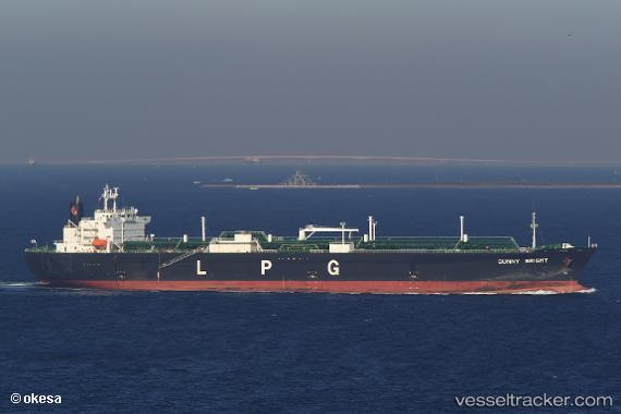
Vessel profile: Sunny Bright is a Lpg Tanker with dimensions 230m x 230m.
This page combines live AIS, route history, probable destination signals, nearby traffic, and port activity for practical vessel monitoring.
The current position of vessel Sunny Bright is 29.93281 lat / 122.26349 lng. Updated: 2026-06-16 18:18:29 UTCNearest reference points:
- Near ZHOUSHAN
- Near Majistan/Zhoushan
Currently sailing under the flag of Japan ![]()
Sunny Bright built in 2004 year
Deadweight:
49999 tDetails:
Live Vessel Sunny Bright Analytics (details, animations, etc.)
Recent AIS points (UTC):
2026-06-16 14:26:42 UTC · 29.93818, 122.26691 · SOG 0 kn · COG 11°2026-06-16 15:28:59 UTC · 29.93815, 122.26691 · SOG 0 kn · COG 11°
2026-06-16 16:41:39 UTC · 29.93817, 122.26691 · SOG 0 kn · COG 11°
2026-06-16 18:18:29 UTC · 29.93281, 122.26349 · SOG 0.2 kn · COG 291°