 vesseltracker.com
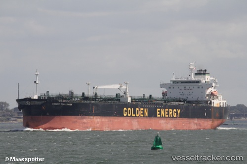
 TWENTY ONE
Current Status
Where is the vessel?
TWENTY ONE is currently in 18 nm E of Dalian, based on AIS data received about 14h ago.
Latest AIS update:
Current position: 38.93371° N, 122.03265° E (18 nm E of Dalian)
Average speed (last 7 days): Loading…
Average speed (last 30 days): Loading…
Vessel profile: TWENTY ONE is a Oil Products Tanker with dimensions m x m.
This page combines live AIS, route history, probable destination signals, nearby traffic, and port activity for practical vessel monitoring.
The current position of vessel TWENTY ONE is 38.93371 lat / 122.03265 lng. Updated: 2026-05-18 11:49:47 UTCNearest reference points:
- 15 nm E of Dalian
- 20 nm E of Dalian
- 15 nm SE of Dalian
Currently sailing under the flag of Curacao ![]()
Details:
Live Vessel TWENTY ONE Analytics (details, animations, etc.)
Recent AIS points (UTC):
2026-05-18 07:48:35 UTC · 38.93373, 122.03158 · SOG 0.1 kn · COG 170°2026-05-18 09:56:25 UTC · 38.93357, 122.03332 · SOG 0 kn · COG 203°
2026-05-18 10:53:25 UTC · 38.93362, 122.03321 · SOG 0.2 kn · COG 198°
2026-05-18 11:49:47 UTC · 38.93371, 122.03265 · SOG 0.1 kn · COG 195°