 vesseltracker.com
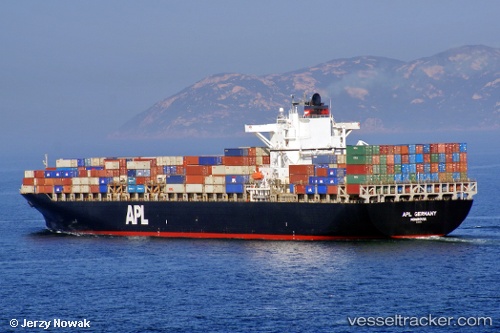
 PL GERMANY
Current Status
Where is the vessel?
PL GERMANY is currently in 121 nm SE of NANTUCKET, based on AIS data received about 14h ago.
Latest AIS update:
Current position: 40.34012° N, 67.74318° W (121 nm SE of NANTUCKET)
Average speed (last 7 days): Loading…
Average speed (last 30 days): Loading…
Vessel profile: PL GERMANY is a Container Ship with dimensions m x m.
This page combines live AIS, route history, probable destination signals, nearby traffic, and port activity for practical vessel monitoring.
The current position of vessel PL GERMANY is 40.34012 lat / -67.74318 lng. Updated: 2026-05-18 01:17:48 UTCNearest reference points:
- 28 nm SE of East Harwich
- 126 nm SE of Offshore Ambrose
- Near South Yarmouth
Currently sailing under the flag of Singapore ![]()
Details:
Live Vessel PL GERMANY Analytics (details, animations, etc.)
Recent AIS points (UTC):
2026-05-17 22:05:18 UTC · 39.82760, -68.38893 · SOG 13.3 kn · COG 44°2026-05-17 22:12:01 UTC · 39.84554, -68.36667 · SOG 13.4 kn · COG 44°
2026-05-18 00:24:38 UTC · 40.19965, -67.92563 · SOG 13.6 kn · COG 44°
2026-05-18 01:17:48 UTC · 40.34012, -67.74318 · SOG 13.1 kn · COG 44°