 Marmorotai
Current Status
Where is the vessel?
Marmorotai is currently in Near Esbjerg, based on AIS data received about 16h ago.
Latest AIS update:
Current position: 55.45286° N, 8.47721° E (Near Esbjerg)
Average speed (last 7 days): Loading…
Average speed (last 30 days): Loading…
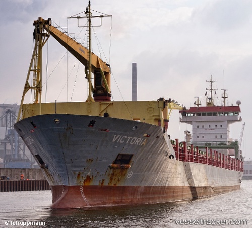
Vessel profile: Marmorotai is a Multi Purpose Carrier with dimensions 145m x 18m.
This page combines live AIS, route history, probable destination signals, nearby traffic, and port activity for practical vessel monitoring.
The current position of vessel Marmorotai is 55.45286 lat / 8.47721 lng. Updated: 2026-07-15 04:54:03 UTCNearest reference points:
- Near Esbjerg
- Near Fanoe
- Near Blavand
Currently sailing under the flag of Antigua Barbuda ![]()
Marmorotai built in 2004 year
Deadweight:
10500 tDetails:
Live Vessel Marmorotai Analytics (details, animations, etc.)
Recent AIS points (UTC):
2026-07-15 02:12:59 UTC · 55.45167, 8.47667 · SOG 0 kn · COG -1°2026-07-15 02:54:07 UTC · 55.45286, 8.47718 · SOG 0 kn · COG 57°
2026-07-15 03:33:03 UTC · 55.45285, 8.47719 · SOG 0 kn · COG 57°
2026-07-15 04:54:03 UTC · 55.45286, 8.47721 · SOG 0 kn · COG 57°