 Montok
Current Status
Where is the vessel?
Montok is currently in 16 nm SW of Kiamari, based on AIS data received about 14h ago.
Latest AIS update:
Current position: 24.57507° N, 66.82408° E (16 nm SW of Kiamari)
Average speed (last 7 days): Loading…
Average speed (last 30 days): Loading…
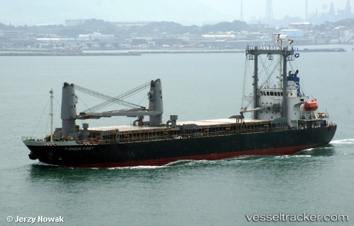
Vessel profile: Montok is a Cement Carrier with dimensions 111m x 20m.
This page combines live AIS, route history, probable destination signals, nearby traffic, and port activity for practical vessel monitoring.
The current position of vessel Montok is 24.57507 lat / 66.82408 lng. Updated: 2026-05-21 02:09:35 UTCNearest reference points:
- 16 nm S of Kiamari
- Near Kiamari
- Near PORT QASIM
Currently sailing under the flag of Indonesia ![]()
Montok built in 2004 year
Deadweight:
10713 tDetails:
Live Vessel Montok Analytics (details, animations, etc.)
Recent AIS points (UTC):
2026-05-20 21:39:42 UTC · 24.57473, 66.82410 · SOG 0.8 kn · COG 237°2026-05-20 22:09:34 UTC · 24.57472, 66.82408 · SOG 0.5 kn · COG 278°
2026-05-20 23:24:34 UTC · 24.57450, 66.82425 · SOG 0.3 kn · COG 277°
2026-05-21 02:09:35 UTC · 24.57507, 66.82408 · SOG 0 kn · COG 248°