 LADY LOUISE
Current Status
Where is the vessel?
LADY LOUISE is currently in 31 nm N of Cide, based on AIS data received about 15h ago.
Latest AIS update:
Current position: 42.38470° N, 33.25123° E (31 nm N of Cide)
Average speed (last 7 days): Loading…
Average speed (last 30 days): Loading…
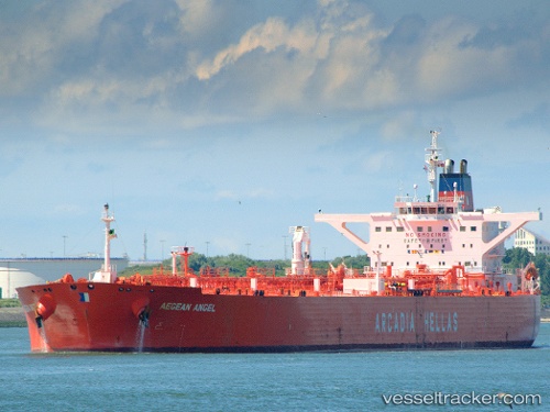
Vessel profile: LADY LOUISE is a Crude Oil Tanker with dimensions m x m.
This page combines live AIS, route history, probable destination signals, nearby traffic, and port activity for practical vessel monitoring.
The current position of vessel LADY LOUISE is 42.38470 lat / 33.25123 lng. Updated: 2026-05-22 18:51:12 UTCNearest reference points:
- 27 nm NW of INEBOLU
- 18 nm NW of INEBOLU
- Near Cide
Currently sailing under the flag of Panama ![]()
Details:
Live Vessel LADY LOUISE Analytics (details, animations, etc.)
Recent AIS points (UTC):
2026-05-22 07:29:28 UTC · 42.10545, 36.26057 · SOG 12.2 kn · COG 295°2026-05-22 18:00:39 UTC · 42.41425, 33.48690 · SOG 12.6 kn · COG 260°
2026-05-22 18:51:12 UTC · 42.38470, 33.25123 · SOG 12.5 kn · COG 255°
2026-05-22 18:51:12 UTC · 42.38470, 33.25123 · SOG 12.5 kn · COG 255°