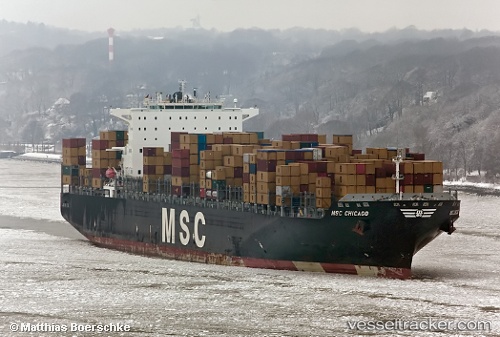
Santa Linea
Current StatusWhere is the vessel?
Santa Linea is currently in 104 nm SE of Quintana, based on AIS data received about 14h ago.
Latest AIS update:
Current position: 27.41500° N, 94.32670° W (104 nm SE of Quintana)
Average speed (last 7 days): Loading…
Average speed (last 30 days): Loading…
Vessel profile: Santa Linea is a Container Ship with dimensions 46m x 337m.
This page combines live AIS, route history, probable destination signals, nearby traffic, and port activity for practical vessel monitoring.
The current position of vessel Santa Linea is 27.415 lat / -94.3267 lng. Updated: 2026-05-21 06:28:52 UTCNearest reference points:
- 63 nm SE of Quintana
- 56 nm SE of Quintana
- 49 nm SE of Sheppard
Details:
Live Vessel Santa Linea Analytics (details, animations, etc.)
Recent AIS points (UTC):
2026-05-21 02:10:52 UTC · 27.40330, -94.24830 · SOG 0 kn · COG -1°2026-05-21 04:10:53 UTC · 27.40830, -94.28170 · SOG 0 kn · COG -1°
2026-05-21 04:19:54 UTC · 27.40830, -94.28500 · SOG 1 kn · COG -1°
2026-05-21 06:28:52 UTC · 27.41500, -94.32670 · SOG 1 kn · COG -1°