 UCAYALI
Current Status
Where is the vessel?
UCAYALI is currently in 15 nm W of Paracas, based on AIS data received about 15h ago.
Latest AIS update:
Current position: 13.81833° S, 76.52500° W (15 nm W of Paracas)
Average speed (last 7 days): Loading…
Average speed (last 30 days): Loading…
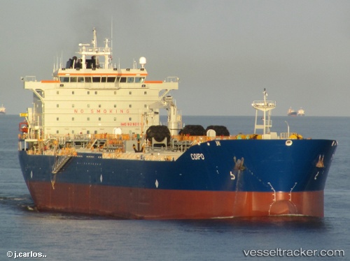
Vessel profile: UCAYALI is a Chemical/Oil Products Tanker with dimensions 182m x 32m.
This page combines live AIS, route history, probable destination signals, nearby traffic, and port activity for practical vessel monitoring.
The current position of vessel UCAYALI is -13.81833 lat / -76.52500 lng. Updated: 2026-07-08 04:39:32 UTCNearest reference points:
- Near Callao
Currently sailing under the flag of Peru ![]()
UCAYALI built in 2005 year
Deadweight:
47300 tDetails:
Live Vessel UCAYALI Analytics (details, animations, etc.)
Recent AIS points (UTC):
2026-07-08 00:54:35 UTC · -14.51500, -76.37333 · SOG 13 kn · COG -1°2026-07-08 02:36:37 UTC · -14.23667, -76.52333 · SOG 12 kn · COG -1°
2026-07-08 04:30:33 UTC · -13.84833, -76.52167 · SOG 11 kn · COG -1°
2026-07-08 04:39:32 UTC · -13.81833, -76.52500 · SOG 12 kn · COG -1°