 MARINA ARUNG
Current Status
Where is the vessel?
MARINA ARUNG is currently in Near BUKOM ISLAND, based on AIS data received about 14h ago.
Latest AIS update:
Current position: 1.17830° N, 103.75140° E (Near BUKOM ISLAND)
Average speed (last 7 days): Loading…
Average speed (last 30 days): Loading…
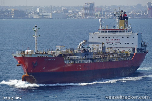
Vessel profile: MARINA ARUNG is a Chemical Tanker with dimensions m x m.
This page combines live AIS, route history, probable destination signals, nearby traffic, and port activity for practical vessel monitoring.
The current position of vessel MARINA ARUNG is 1.17830 lat / 103.75140 lng. Updated: 2026-06-23 10:34:31 UTCNearest reference points:
- Near BUKOM ISLAND
- Near JURONG ISLAND
- Near Pasir Panjang Wharves
Currently sailing under the flag of Panama ![]()
Details:
Live Vessel MARINA ARUNG Analytics (details, animations, etc.)
Recent AIS points (UTC):
2026-06-23 07:40:20 UTC · 1.17823, 103.75155 · SOG 0 kn · COG 108°2026-06-23 08:19:29 UTC · 1.17760, 103.75192 · SOG 0 kn · COG 64°
2026-06-23 10:25:23 UTC · 1.17840, 103.75148 · SOG 0 kn · COG 101°
2026-06-23 10:34:31 UTC · 1.17830, 103.75140 · SOG 0 kn · COG 106°