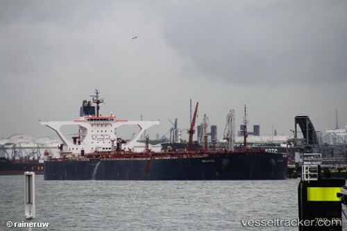
 LUNA LUSTER
Current Status
Where is the vessel?
LUNA LUSTER is currently in 49 nm E of Longyan Pt, based on AIS data received about 14h ago.
Latest AIS update:
Current position: 37.61858° N, 123.62663° E (49 nm E of Longyan Pt)
Average speed (last 7 days): Loading…
Average speed (last 30 days): Loading…
Vessel profile: LUNA LUSTER is a Crude Oil Tanker with dimensions m x m.
This page combines live AIS, route history, probable destination signals, nearby traffic, and port activity for practical vessel monitoring.
The current position of vessel LUNA LUSTER is 37.61858 lat / 123.62663 lng. Updated: 2026-06-26 22:23:54 UTCNearest reference points:
- 54 nm E of Longyan Pt
- 34 nm E of Longyan Pt
- 30 nm E of Longyan Pt
Currently sailing under the flag of Sierra Leone ![]()
Details:
Live Vessel LUNA LUSTER Analytics (details, animations, etc.)
Recent AIS points (UTC):
2026-06-26 18:08:00 UTC · 37.61754, 123.62534 · SOG 0.1 kn · COG 288°2026-06-26 19:29:56 UTC · 37.61754, 123.62534 · SOG 0.1 kn · COG 312°
2026-06-26 19:41:54 UTC · 37.61754, 123.62534 · SOG 0.1 kn · COG 316°
2026-06-26 22:23:54 UTC · 37.61858, 123.62663 · SOG 0.1 kn · COG 5°