 vesseltracker.com
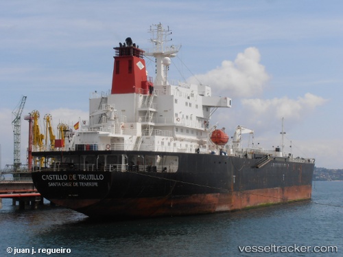
 SATURN A
Current Status
Where is the vessel?
SATURN A is currently in Near Novorossiysk, based on AIS data received about 16h ago.
Latest AIS update:
Current position: 44.70613° N, 37.84426° E (Near Novorossiysk)
Average speed (last 7 days): Loading…
Average speed (last 30 days): Loading…
Vessel profile: SATURN A is a Oil/Chemical Tanker with dimensions m x m.
This page combines live AIS, route history, probable destination signals, nearby traffic, and port activity for practical vessel monitoring.
The current position of vessel SATURN A is 44.70613 lat / 37.84426 lng. Updated: 2026-05-18 03:01:14 UTCNearest reference points:
- Near Novorossiysk
- Near GELENDZHIK
- Near Cpc Terminal
Currently sailing under the flag of Antigua and Barbuda ![]()
Details:
Live Vessel SATURN A Analytics (details, animations, etc.)
Recent AIS points (UTC):
2026-05-17 22:21:15 UTC · 44.26049, 37.84547 · SOG 7.7 kn · COG 261°2026-05-17 22:21:15 UTC · 44.26049, 37.84547 · SOG 7.7 kn · COG 261°
2026-05-18 03:01:14 UTC · 44.70613, 37.84426 · SOG 28.9 kn · COG 261°
2026-05-18 03:01:14 UTC · 44.70613, 37.84426 · SOG 28.9 kn · COG 261°