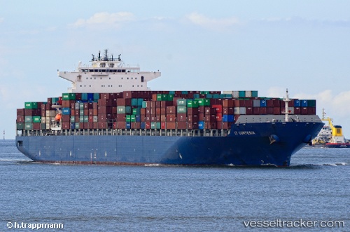
 CONTI CORTESIA
Current Status
Where is the vessel?
CONTI CORTESIA is currently in 326 nm N of Fukagawa, based on AIS data received about 15h ago.
Latest AIS update:
Current position: 40.84148° N, 141.97646° W (326 nm N of Fukagawa)
Average speed (last 7 days): Loading…
Average speed (last 30 days): Loading…
Vessel profile: CONTI CORTESIA is a Container Ship with dimensions 42m x 333m.
This page combines live AIS, route history, probable destination signals, nearby traffic, and port activity for practical vessel monitoring.
The current position of vessel CONTI CORTESIA is 40.84148 lat / -141.97646 lng. Updated: 2026-07-11 05:35:55 UTCCurrently sailing under the flag of Malta ![]()
CONTI CORTESIA built in 2005 year
Deadweight:
106912 tDetails:
Live Vessel CONTI CORTESIA Analytics (details, animations, etc.)
Recent AIS points (UTC):
2026-07-11 02:03:51 UTC · 41.23282, -142.95381 · SOG 14.1 kn · COG 115°2026-07-11 03:39:58 UTC · 41.06121, -142.50841 · SOG 14.1 kn · COG 117°
2026-07-11 04:17:35 UTC · 40.99012, -142.33733 · SOG 14.2 kn · COG 117°
2026-07-11 05:35:55 UTC · 40.84148, -141.97646 · SOG 14.2 kn · COG 114°