 MOONLIT
Current Status
Where is the vessel?
MOONLIT is currently in 67 nm N of Gagak Rimang Fso, based on AIS data received about 14h ago.
Latest AIS update:
Current position: 5.58563° S, 112.10684° E (67 nm N of Gagak Rimang Fso)
Average speed (last 7 days): Loading…
Average speed (last 30 days): Loading…
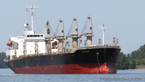
Vessel profile: MOONLIT is a Bulk Carrier with dimensions m x m.
This page combines live AIS, route history, probable destination signals, nearby traffic, and port activity for practical vessel monitoring.
The current position of vessel MOONLIT is -5.58563 lat / 112.10684 lng. Updated: 2026-05-22 08:31:05 UTCNearest reference points:
- 68 nm NW of Gagak Rimang Fso
- 60 nm NW of Camar Marine Terminal
- 49 nm NE of TANJUNG JATI
Currently sailing under the flag of Saint Vincent and the Grenadines ![]()
Details:
Live Vessel MOONLIT Analytics (details, animations, etc.)
Recent AIS points (UTC):
2026-05-22 04:10:06 UTC · -5.01785, 111.56096 · SOG 11.1 kn · COG -1°2026-05-22 05:20:12 UTC · -5.13692, 111.74376 · SOG 11 kn · COG -1°
2026-05-22 07:30:56 UTC · -5.41718, 112.01565 · SOG 11.1 kn · COG 149°
2026-05-22 08:31:05 UTC · -5.58563, 112.10684 · SOG 11.4 kn · COG 149°