 CMA CGM SAN ANTONIO
Current Status
Where is the vessel?
CMA CGM SAN ANTONIO is currently in 13 nm NW of Sharjah, based on AIS data received about 16d ago.
Latest AIS update:
Current position: 25.48417° N, 55.14044° E (13 nm NW of Sharjah)
Average speed (last 7 days): Loading…
Average speed (last 30 days): Loading…
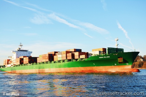
Vessel profile: CMA CGM SAN ANTONIO is a Container Ship with dimensions 30m x 222m.
This page combines live AIS, route history, probable destination signals, nearby traffic, and port activity for practical vessel monitoring.
The current position of vessel CMA CGM SAN ANTONIO is 25.48417 lat / 55.14044 lng. Updated: 2026-05-05 07:33:56 UTCNearest reference points:
- 17 nm NW of Free Port
- Near Free Port
- Near Sharjah
Currently sailing under the flag of Malta ![]()
CMA CGM SAN ANTONIO built in 2005 year
Deadweight:
39333 tDetails:
Live Vessel CMA CGM SAN ANTONIO Analytics (details, animations, etc.)
Recent AIS points (UTC):
2026-05-05 07:33:56 UTC · 25.48417, 55.14044 · SOG 1 kn · COG 83°