 Pohorje
Current Status
Where is the vessel?
Pohorje is currently in 11 nm SE of Maryknoll, based on AIS data received about 14h ago.
Latest AIS update:
Current position: 39.02090° S, 145.78206° E (11 nm SE of Maryknoll)
Average speed (last 7 days): Loading…
Average speed (last 30 days): Loading…
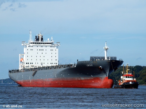
Vessel profile: Pohorje is a Container Ship with dimensions 269m x 32m.
This page combines live AIS, route history, probable destination signals, nearby traffic, and port activity for practical vessel monitoring.
The current position of vessel Pohorje is -39.02090 lat / 145.78206 lng. Updated: 2026-05-19 16:27:45 UTCNearest reference points:
- Near Hastings
- Near QUEENSCLIFF
- Near Spotswood
Currently sailing under the flag of Liberia ![]()
Pohorje built in 2006 year
Deadweight:
52683 tDetails:
Live Vessel Pohorje Analytics (details, animations, etc.)
Recent AIS points (UTC):
2026-05-19 13:49:33 UTC · -39.18998, 146.36028 · SOG 11.9 kn · COG 253°2026-05-19 13:52:12 UTC · -39.19245, 146.34956 · SOG 11.8 kn · COG 253°
2026-05-19 15:38:32 UTC · -39.09641, 145.95538 · SOG 11.3 kn · COG 295°
2026-05-19 16:27:45 UTC · -39.02090, 145.78206 · SOG 11.2 kn · COG 295°