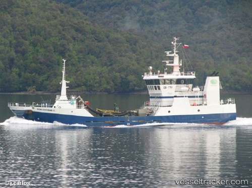
Colby Perce
Current StatusWhere is the vessel?
Colby Perce is currently in 15 nm SW of Channel-Port aux Basques, based on AIS data received about 14h ago.
Latest AIS update:
Current position: 47.34500° N, 59.30500° W (15 nm SW of Channel-Port aux Basques)
Average speed (last 7 days): Loading…
Average speed (last 30 days): Loading…
Vessel profile: Colby Perce is a Fish Carrier with dimensions 11m x 40m.
This page combines live AIS, route history, probable destination signals, nearby traffic, and port activity for practical vessel monitoring.
The current position of vessel Colby Perce is 47.34500 lat / -59.30500 lng. Updated: 2026-05-19 17:04:38 UTCNearest reference points:
- Near Corner Brook
- Near Goldboro
Details:
Live Vessel Colby Perce Analytics (details, animations, etc.)
Recent AIS points (UTC):
2026-05-19 13:31:04 UTC · 46.94669, -59.77960 · SOG 10 kn · COG -1°2026-05-19 13:55:35 UTC · 47.01667, -59.74333 · SOG 9 kn · COG -1°
2026-05-19 15:31:15 UTC · 47.27029, -59.63174 · SOG 10.1 kn · COG -1°
2026-05-19 17:04:38 UTC · 47.34500, -59.30500 · SOG 9 kn · COG -1°