 SUNNY ROUTE
Current Status
Where is the vessel?
SUNNY ROUTE is currently in 139 nm E of Nandiambakkam, based on AIS data received about 17h ago.
Latest AIS update:
Current position: 13.31197° N, 82.84592° E (139 nm E of Nandiambakkam)
Average speed (last 7 days): Loading…
Average speed (last 30 days): Loading…
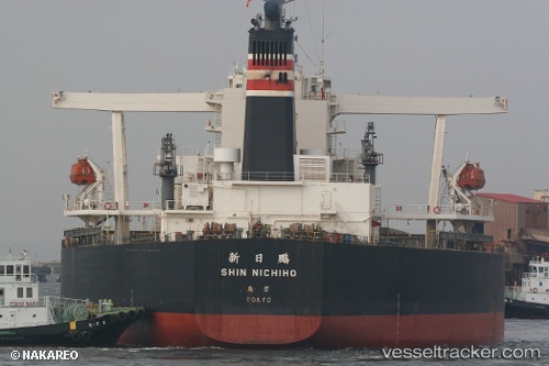
Vessel profile: SUNNY ROUTE is a Bulk Carrier with dimensions 300m x 50m.
This page combines live AIS, route history, probable destination signals, nearby traffic, and port activity for practical vessel monitoring.
The current position of vessel SUNNY ROUTE is 13.31197 lat / 82.84592 lng. Updated: 2026-05-22 07:12:00 UTCNearest reference points:
- 80 nm E of Nandiambakkam
- 17 nm NE of Nandiambakkam
- Near Madras
Currently sailing under the flag of Liberia ![]()
SUNNY ROUTE built in 2005 year
Deadweight:
203180 tDetails:
Live Vessel SUNNY ROUTE Analytics (details, animations, etc.)
Recent AIS points (UTC):
2026-05-22 07:12:00 UTC · 13.31197, 82.84592 · SOG 9.6 kn · COG 4°2026-05-22 07:12:00 UTC · 13.31197, 82.84592 · SOG 9.6 kn · COG 4°
2026-05-22 07:12:00 UTC · 13.31197, 82.84592 · SOG 9.6 kn · COG 4°
2026-05-22 07:12:00 UTC · 13.31197, 82.84592 · SOG 9.6 kn · COG 4°