 vesseltracker.com
 HARVEST
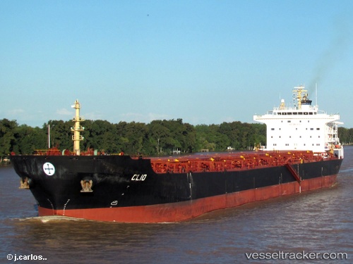
Current Status
Where is the vessel?
HARVEST is currently in Near Taboneo, based on AIS data received less than 1h ago.
Latest AIS update:
Current position: 3.73609° S, 114.48622° E (Near Taboneo)
Average speed (last 7 days): Loading…
Average speed (last 30 days): Loading…
Vessel profile: HARVEST is a Bulk Carrier with dimensions 32m x 225m.
This page combines live AIS, route history, probable destination signals, nearby traffic, and port activity for practical vessel monitoring.
The current position of vessel HARVEST is -3.73609 lat / 114.48622 lng. Updated: 2026-04-27 15:29:04 UTCNearest reference points:
- Near Taboneo
- Near BANJARMASIN
- Near Bunati
Currently sailing under the flag of Marshall Islands ![]()
HARVEST built in 2005 year
Deadweight:
73691 tDetails:
Live Vessel HARVEST Analytics (details, animations, etc.)
Recent AIS points (UTC):
2026-04-27 11:02:08 UTC · -3.73948, 114.48841 · SOG 0 kn · COG 331°2026-04-27 12:14:08 UTC · -3.73910, 114.48882 · SOG 0.1 kn · COG 311°
2026-04-27 13:29:09 UTC · -3.73648, 114.48885 · SOG 0.4 kn · COG 230°
2026-04-27 15:29:04 UTC · -3.73609, 114.48622 · SOG 0.1 kn · COG 142°