 DELONIX
Current Status
Where is the vessel?
DELONIX is currently in 246 nm E of Suqutrá, based on AIS data received about 14h ago.
Latest AIS update:
Current position: 12.94729° N, 58.18202° E (246 nm E of Suqutrá)
Average speed (last 7 days): Loading…
Average speed (last 30 days): Loading…
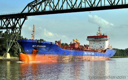
Vessel profile: DELONIX is a Chemical Oil Products Tanker with dimensions 24m x 164m.
This page combines live AIS, route history, probable destination signals, nearby traffic, and port activity for practical vessel monitoring.
The current position of vessel DELONIX is 12.94729 lat / 58.18202 lng. Updated: 2026-07-16 04:12:19 UTCNearest reference points:
- Open sea, approx. 400 nm off the nearest listed port
- Open sea, approx. 402 nm off the nearest listed port
- Open sea, approx. 403 nm off the nearest listed port
Currently sailing under the flag of Liberia ![]()
DELONIX built in 0 year
Deadweight:
0 tDetails:
Live Vessel DELONIX Analytics (details, animations, etc.)
Recent AIS points (UTC):
2026-07-16 01:20:41 UTC · 12.84245, 58.50666 · SOG 7.1 kn · COG 285°2026-07-16 01:20:41 UTC · 12.84245, 58.50666 · SOG 7.1 kn · COG 285°
2026-07-16 03:00:47 UTC · 12.90193, 58.31631 · SOG 6.9 kn · COG 290°
2026-07-16 04:12:19 UTC · 12.94729, 58.18202 · SOG 7.2 kn · COG 286°