 MANDALA
Current Status
Where is the vessel?
MANDALA is currently in Near MGARR, based on AIS data received about 15d ago.
Latest AIS update:
Current position: 36.02535° N, 14.29773° E (Near MGARR)
Average speed (last 7 days): Loading…
Average speed (last 30 days): Loading…
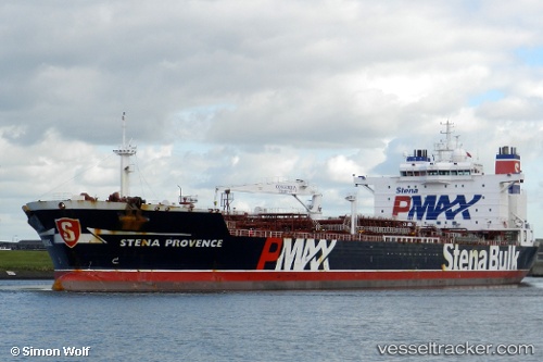
Vessel profile: MANDALA is a Chemical Oil Products Tanker with dimensions 182m x 40m.
This page combines live AIS, route history, probable destination signals, nearby traffic, and port activity for practical vessel monitoring.
The current position of vessel MANDALA is 36.02535 lat / 14.29773 lng. Updated: 2026-07-17 09:08:53 UTCNearest reference points:
- Near CIRKEWWA
- Near Saint Julians
- Near Sliema
Currently sailing under the flag of Liberia ![]()
MANDALA built in 2006 year
Deadweight:
65125 tDetails:
Live Vessel MANDALA Analytics (details, animations, etc.)
Recent AIS points (UTC):
2026-07-17 09:08:53 UTC · 36.02535, 14.29773 · SOG 0.1 kn · COG -1°