 FANTA
FANTA
Current Status
Where is the vessel?
FANTA is currently in 49 nm SE of Caye Chapel, based on AIS data received about 14h ago.
Latest AIS update:
Current position: 17.18357° N, 87.35994° W (49 nm SE of Caye Chapel)
Average speed (last 7 days): Loading…
Average speed (last 30 days): Loading…
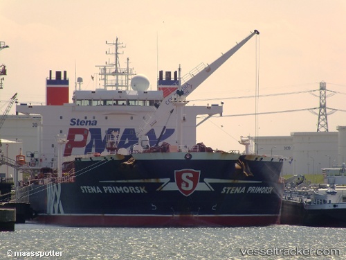
Vessel profile: FANTA is a Oil Products Tanker with dimensions 183m x 182m.
This page combines live AIS, route history, probable destination signals, nearby traffic, and port activity for practical vessel monitoring.
The current position of vessel FANTA is 17.18357 lat / -87.35994 lng. Updated: 2026-06-10 14:07:01 UTCNearest reference points:
- 14 nm SE of Belize
- 26 nm SE of Dangriga
- 12 nm SW of Dangriga
Currently sailing under the flag of Antigua Barbuda ![]()
FANTA built in 2006 year
Deadweight:
65125 tDetails:
Live Vessel FANTA Analytics (details, animations, etc.)
Recent AIS points (UTC):
2026-06-10 10:50:05 UTC · 17.18357, -87.35994 · SOG 0 kn · COG 350°2026-06-10 12:30:24 UTC · 17.18357, -87.35994 · SOG 0 kn · COG 350°
2026-06-10 13:56:50 UTC · 17.18357, -87.35994 · SOG 0 kn · COG 350°
2026-06-10 14:07:01 UTC · 17.18357, -87.35994 · SOG 0 kn · COG 350°