 vesseltracker.com
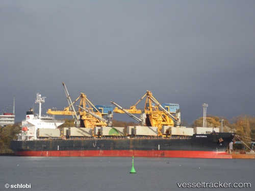
Aquitania
Current StatusWhere is the vessel?
Aquitania is currently in 35 nm S of HAMBANTOTA, based on AIS data received about 1h ago.
Latest AIS update:
Current position: 5.54040° N, 81.13172° E (35 nm S of HAMBANTOTA)
Average speed (last 7 days): Loading…
Average speed (last 30 days): Loading…
Vessel profile: Aquitania is a Ore Carrier with dimensions 32m x 190m.
This page combines live AIS, route history, probable destination signals, nearby traffic, and port activity for practical vessel monitoring.
The current position of vessel Aquitania is 5.54040 lat / 81.13172 lng. Updated: 2026-05-15 20:05:26 UTCNearest reference points:
- Near HAMBANTOTA
- 28 nm SW of Matara
- 15 nm S of Koggala
Details:
Live Vessel Aquitania Analytics (details, animations, etc.)
Recent AIS points (UTC):
2026-05-15 17:10:46 UTC · 5.84710, 81.44288 · SOG 9.2 kn · COG 222°2026-05-15 18:24:55 UTC · 5.70962, 81.31468 · SOG 8.9 kn · COG 225°
2026-05-15 19:49:56 UTC · 5.56775, 81.15861 · SOG 9.1 kn · COG 225°
2026-05-15 20:05:26 UTC · 5.54040, 81.13172 · SOG 9 kn · COG 226°