 vesseltracker.com
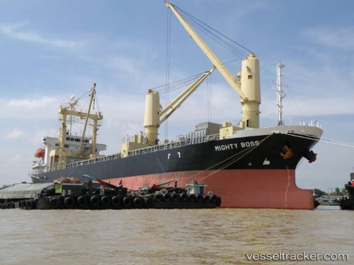
 ELFRIEDE
Current Status
Where is the vessel?
ELFRIEDE is currently in 164 nm NW of Ile Desroches, based on AIS data received about 14h ago.
Latest AIS update:
Current position: 3.57293° S, 51.95188° E (164 nm NW of Ile Desroches)
Average speed (last 7 days): Loading…
Average speed (last 30 days): Loading…
Vessel profile: ELFRIEDE is a General Cargo with dimensions m x m.
This page combines live AIS, route history, probable destination signals, nearby traffic, and port activity for practical vessel monitoring.
The current position of vessel ELFRIEDE is -3.57293 lat / 51.95188 lng. Updated: 2026-05-17 19:55:39 UTCNearest reference points:
- Near Ile Desroches
Currently sailing under the flag of Barbados ![]()
Details:
Live Vessel ELFRIEDE Analytics (details, animations, etc.)
Recent AIS points (UTC):
2026-05-17 16:07:37 UTC · -3.34892, 52.26723 · SOG 0.5 kn · COG 74°2026-05-17 17:54:48 UTC · -3.40685, 52.19564 · SOG 8.4 kn · COG 238°
2026-05-17 19:13:57 UTC · -3.51723, 52.03420 · SOG 8.6 kn · COG 240°
2026-05-17 19:55:39 UTC · -3.57293, 51.95188 · SOG 8.4 kn · COG 238°