 MSC LUANDA VIII
Current Status
Where is the vessel?
MSC LUANDA VIII is currently in Near HADERA, based on AIS data received about 14h ago.
Latest AIS update:
Current position: 32.48872° N, 34.67609° E (Near HADERA)
Average speed (last 7 days): Loading…
Average speed (last 30 days): Loading…
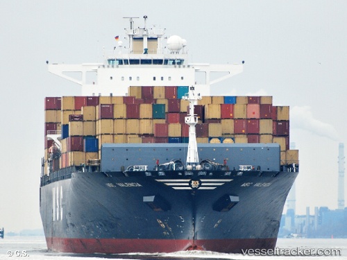
Vessel profile: MSC LUANDA VIII is a Container Ship with dimensions m x m.
This page combines live AIS, route history, probable destination signals, nearby traffic, and port activity for practical vessel monitoring.
The current position of vessel MSC LUANDA VIII is 32.48872 lat / 34.67609 lng. Updated: 2026-05-21 05:21:53 UTCNearest reference points:
- 22 nm W of Haifa Granaries
- Near Haifa
- 17 nm E of Atakka Dry Port
Currently sailing under the flag of Liberia ![]()
Details:
Live Vessel MSC LUANDA VIII Analytics (details, animations, etc.)
Recent AIS points (UTC):
2026-05-21 02:01:07 UTC · 32.81815, 35.01310 · SOG 0 kn · COG 350°2026-05-21 03:53:36 UTC · 32.81584, 34.77164 · SOG 13.6 kn · COG 198°
2026-05-21 04:36:41 UTC · 32.65637, 34.72738 · SOG 13.9 kn · COG 199°
2026-05-21 05:21:53 UTC · 32.48872, 34.67609 · SOG 13.8 kn · COG 199°