 WESTPORT
Current Status
Where is the vessel?
WESTPORT is currently in 147 nm SW of Coral Bay, based on AIS data received about 14h ago.
Latest AIS update:
Current position: 24.23953° S, 111.38835° E (147 nm SW of Coral Bay)
Average speed (last 7 days): Loading…
Average speed (last 30 days): Loading…
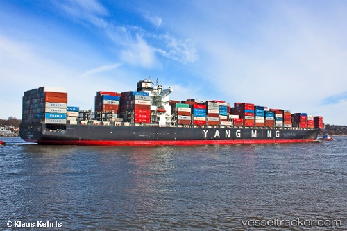
Vessel profile: WESTPORT is a Container Ship with dimensions m x m.
This page combines live AIS, route history, probable destination signals, nearby traffic, and port activity for practical vessel monitoring.
The current position of vessel WESTPORT is -24.23953 lat / 111.38835 lng. Updated: 2026-05-20 13:09:37 UTCNearest reference points:
- 139 nm SW of Coral Bay
Currently sailing under the flag of Liberia ![]()
Details:
Live Vessel WESTPORT Analytics (details, animations, etc.)
Recent AIS points (UTC):
2026-05-20 09:47:23 UTC · -23.41835, 111.07112 · SOG 15.4 kn · COG 159°2026-05-20 10:41:33 UTC · -23.63833, 111.15833 · SOG 16 kn · COG -1°
2026-05-20 12:09:33 UTC · -23.99673, 111.29797 · SOG 15.5 kn · COG 163°
2026-05-20 13:09:37 UTC · -24.23953, 111.38835 · SOG 14.9 kn · COG 165°