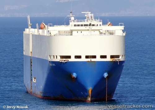
 Grand Duke
Current Status
Where is the vessel?
Grand Duke is currently in Near KIMITSU, based on AIS data received about 14h ago.
Latest AIS update:
Current position: 35.37280° N, 139.89200° E (Near KIMITSU)
Average speed (last 7 days): Loading…
Average speed (last 30 days): Loading…
Vessel profile: Grand Duke is a Vehicles Carrier with dimensions 199m x 32m.
This page combines live AIS, route history, probable destination signals, nearby traffic, and port activity for practical vessel monitoring.
The current position of vessel Grand Duke is 35.37280 lat / 139.89200 lng. Updated: 2026-05-19 05:06:16 UTCNearest reference points:
- Near Yokosuka
- Near Kawasaki
- Near ANEGASAKI
Currently sailing under the flag of Panama ![]()
Grand Duke built in 2005 year
Deadweight:
18315 tDetails:
Live Vessel Grand Duke Analytics (details, animations, etc.)
Recent AIS points (UTC):
2026-05-19 01:45:15 UTC · 35.37279, 139.89200 · SOG 0 kn · COG 63°2026-05-19 01:57:19 UTC · 35.37280, 139.89198 · SOG 0 kn · COG 63°
2026-05-19 03:54:18 UTC · 35.37167, 139.89166 · SOG 0 kn · COG -1°
2026-05-19 05:06:16 UTC · 35.37280, 139.89200 · SOG 0 kn · COG 63°