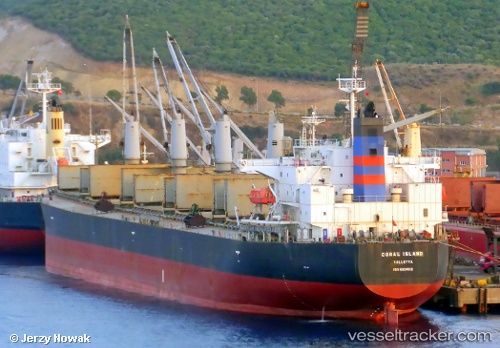
 Coral Island
Current Status
Where is the vessel?
Coral Island is currently in Near PANAMBUR, based on AIS data received about 14h ago.
Latest AIS update:
Current position: 12.93328° N, 74.81672° E (Near PANAMBUR)
Average speed (last 7 days): Loading…
Average speed (last 30 days): Loading…
Vessel profile: Coral Island is a Bulk Carrier with dimensions 189m x 33m.
This page combines live AIS, route history, probable destination signals, nearby traffic, and port activity for practical vessel monitoring.
The current position of vessel Coral Island is 12.93328 lat / 74.81672 lng. Updated: 2026-05-20 15:32:25 UTCNearest reference points:
- Near PANAMBUR
- Near Mangalore
- 17 nm NW of Panamburu
Currently sailing under the flag of Malta ![]()
Coral Island built in 2006 year
Deadweight:
55699 tDetails:
Live Vessel Coral Island Analytics (details, animations, etc.)
Recent AIS points (UTC):
2026-05-20 11:41:29 UTC · 12.93322, 74.81665 · SOG 0.1 kn · COG 171°2026-05-20 13:29:25 UTC · 12.93330, 74.81680 · SOG 0 kn · COG 171°
2026-05-20 13:35:27 UTC · 12.93333, 74.81672 · SOG 0 kn · COG 171°
2026-05-20 15:32:25 UTC · 12.93328, 74.81672 · SOG 0 kn · COG 171°