 CRATER
Current Status
Where is the vessel?
CRATER is currently in 132 nm NE of Suqutrá, based on AIS data received about 14h ago.
Latest AIS update:
Current position: 14.23828° N, 55.39158° E (132 nm NE of Suqutrá)
Average speed (last 7 days): Loading…
Average speed (last 30 days): Loading…
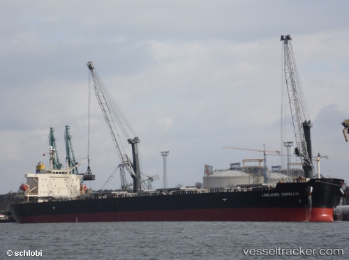
Vessel profile: CRATER is a Bulk Carrier with dimensions m x m.
This page combines live AIS, route history, probable destination signals, nearby traffic, and port activity for practical vessel monitoring.
The current position of vessel CRATER is 14.23828 lat / 55.39158 lng. Updated: 2026-05-21 15:55:47 UTCNearest reference points:
- 103 nm S of Port Raysut
- 110 nm NE of Gross Koris
- 106 nm S of Port Raysut
Currently sailing under the flag of Liberia ![]()
Details:
Live Vessel CRATER Analytics (details, animations, etc.)
Recent AIS points (UTC):
2026-05-21 13:29:40 UTC · 14.35235, 54.89282 · SOG 12.4 kn · COG 112°2026-05-21 13:44:41 UTC · 14.33348, 54.94223 · SOG 12.4 kn · COG 114°
2026-05-21 15:23:24 UTC · 14.25498, 55.28075 · SOG 12.2 kn · COG 99°
2026-05-21 15:55:47 UTC · 14.23828, 55.39158 · SOG 12.2 kn · COG 98°