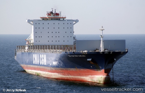
 STRATFORD
Current Status
Where is the vessel?
STRATFORD is currently in 20 nm SW of Kinfraa-SEZ/Thiruvananthapuram, based on AIS data received about 15h ago.
Latest AIS update:
Current position: 8.22382° N, 76.71755° E (20 nm SW of Kinfraa-SEZ/Thiruvananthapuram)
Average speed (last 7 days): Loading…
Average speed (last 30 days): Loading…
Vessel profile: STRATFORD is a Container Ship with dimensions m x m.
This page combines live AIS, route history, probable destination signals, nearby traffic, and port activity for practical vessel monitoring.
The current position of vessel STRATFORD is 8.22382 lat / 76.71755 lng. Updated: 2026-05-19 23:35:40 UTCNearest reference points:
- 41 nm S of Nagercoil
- 91 nm S of Nagercoil
- Near Edappally
Currently sailing under the flag of Liberia ![]()
Details:
Live Vessel STRATFORD Analytics (details, animations, etc.)
Recent AIS points (UTC):
2026-05-19 19:53:49 UTC · 7.88616, 77.27588 · SOG 10.6 kn · COG 298°2026-05-19 21:45:19 UTC · 8.04361, 76.99409 · SOG 10.4 kn · COG 299°
2026-05-19 22:02:19 UTC · 8.06902, 76.95024 · SOG 10.6 kn · COG 300°
2026-05-19 23:35:40 UTC · 8.22382, 76.71755 · SOG 10.7 kn · COG 299°