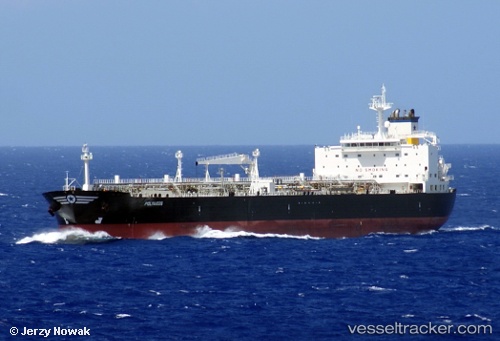
 POLYAIGOS
Current Status
Where is the vessel?
POLYAIGOS is currently in 206 nm SW of Keti Bandar, based on AIS data received about 14h ago.
Latest AIS update:
Current position: 21.15411° N, 65.59789° E (206 nm SW of Keti Bandar)
Average speed (last 7 days): Loading…
Average speed (last 30 days): Loading…
Vessel profile: POLYAIGOS is a Crude Oil Tanker with dimensions m x m.
This page combines live AIS, route history, probable destination signals, nearby traffic, and port activity for practical vessel monitoring.
The current position of vessel POLYAIGOS is 21.15411 lat / 65.59789 lng. Updated: 2026-07-05 04:03:21 UTCNearest reference points:
- 231 nm SW of Keti Bandar
- 262 nm SE of SUR
- 224 nm E of SUR
Currently sailing under the flag of Marshall Islands ![]()
Details:
Live Vessel POLYAIGOS Analytics (details, animations, etc.)
Recent AIS points (UTC):
2026-07-05 01:19:45 UTC · 21.48390, 65.28088 · SOG 9.5 kn · COG 142°2026-07-05 01:19:45 UTC · 21.48390, 65.28088 · SOG 9.5 kn · COG 142°
2026-07-05 03:38:01 UTC · 21.20600, 65.54868 · SOG 9.8 kn · COG -1°
2026-07-05 04:03:21 UTC · 21.15411, 65.59789 · SOG 10 kn · COG -1°