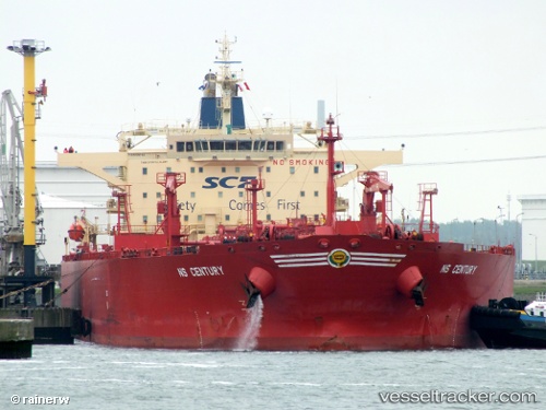
 KARELIYA
Current Status
Where is the vessel?
KARELIYA is currently in 63 nm W of As Salif, based on AIS data received about 16h ago.
Latest AIS update:
Current position: 15.29833° N, 41.58500° E (63 nm W of As Salif)
Average speed (last 7 days): Loading…
Average speed (last 30 days): Loading…
Vessel profile: KARELIYA is a Crude Oil Tanker with dimensions m x m.
This page combines live AIS, route history, probable destination signals, nearby traffic, and port activity for practical vessel monitoring.
The current position of vessel KARELIYA is 15.29833 lat / 41.58500 lng. Updated: 2026-07-03 07:19:10 UTCNearest reference points:
- 81 nm NW of As Salif
- 92 nm SW of Al Qahmah
- Near Jazan Economic City
Currently sailing under the flag of Russia ![]()
Details:
Live Vessel KARELIYA Analytics (details, animations, etc.)
Recent AIS points (UTC):
2026-07-03 05:06:20 UTC · 15.68713, 41.36926 · SOG 12.1 kn · COG 155°2026-07-03 06:16:07 UTC · 15.48333, 41.48667 · SOG 11 kn · COG -1°
2026-07-03 06:43:05 UTC · 15.40500, 41.53167 · SOG 11 kn · COG -1°
2026-07-03 07:19:10 UTC · 15.29833, 41.58500 · SOG 11 kn · COG -1°