 vesseltracker.com
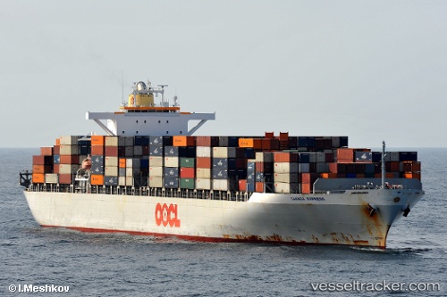
 RANTANPLAN
Current Status
Where is the vessel?
RANTANPLAN is currently in 22 nm SW of Neeltje Jans, based on AIS data received about 16d ago.
Latest AIS update:
Current position: 53.45726° N, 3.14677° E (22 nm SW of Neeltje Jans)
Average speed (last 7 days): Loading…
Average speed (last 30 days): Loading…
Vessel profile: RANTANPLAN is a Container Ship with dimensions 280m x 40m.
This page combines live AIS, route history, probable destination signals, nearby traffic, and port activity for practical vessel monitoring.
The current position of vessel RANTANPLAN is 53.45726 lat / 3.14677 lng. Updated: 2026-04-28 02:08:22 UTCNearest reference points:
- 19 nm NW of Neeltje Jans
- Near Neeltje Jans
- Near Craven Arms
Currently sailing under the flag of Liberia ![]()
RANTANPLAN built in 2006 year
Deadweight:
66940 tDetails:
Live Vessel RANTANPLAN Analytics (details, animations, etc.)
Recent AIS points (UTC):
2026-04-28 02:08:22 UTC · 53.45726, 3.14677 · SOG 1.3 kn · COG -1°