 ANNIE
ANNIE
Current Status
Where is the vessel?
ANNIE is currently in Near DAHEJ, based on AIS data received about 15h ago.
Latest AIS update:
Current position: 21.68569° N, 72.50897° E (Near DAHEJ)
Average speed (last 7 days): Loading…
Average speed (last 30 days): Loading…
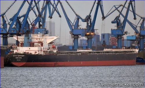
Vessel profile: ANNIE is a Bulk Carrier with dimensions 45m x 289m.
This page combines live AIS, route history, probable destination signals, nearby traffic, and port activity for practical vessel monitoring.
The current position of vessel ANNIE is 21.68569 lat / 72.50897 lng. Updated: 2026-05-20 23:24:23 UTCNearest reference points:
- Near DAHEJ
- Near Bhavnagar
- Near Mithivirdi
Currently sailing under the flag of Liberia ![]()
ANNIE built in 2006 year
Deadweight:
173624 tDetails:
Live Vessel ANNIE Analytics (details, animations, etc.)
Recent AIS points (UTC):
2026-05-20 17:55:26 UTC · 21.68500, 72.50833 · SOG 0 kn · COG -1°2026-05-20 21:39:21 UTC · 21.68569, 72.50896 · SOG 0 kn · COG 174°
2026-05-20 22:10:26 UTC · 21.68500, 72.50833 · SOG 0 kn · COG -1°
2026-05-20 23:24:23 UTC · 21.68569, 72.50897 · SOG 0 kn · COG 174°