 Tavropos
Current Status
Where is the vessel?
Tavropos is currently in Near Rabon Grande/Coatzacoalcos, based on AIS data received about 14h ago.
Latest AIS update:
Current position: 18.26033° N, 94.41586° W (Near Rabon Grande/Coatzacoalcos)
Average speed (last 7 days): Loading…
Average speed (last 30 days): Loading…
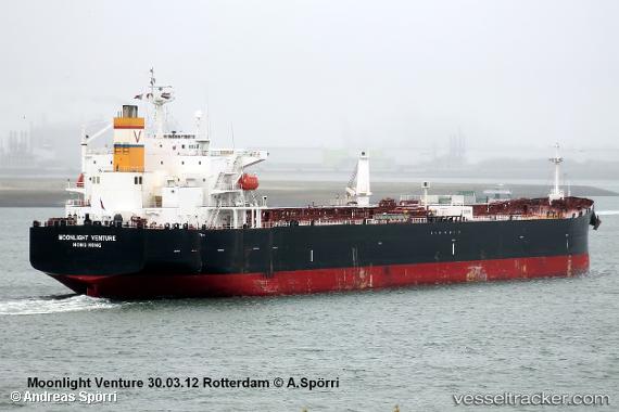
Vessel profile: Tavropos is a Crude Oil Tanker with dimensions 213m x 32m.
This page combines live AIS, route history, probable destination signals, nearby traffic, and port activity for practical vessel monitoring.
The current position of vessel Tavropos is 18.26033 lat / -94.41586 lng. Updated: 2026-06-23 01:22:47 UTCNearest reference points:
- Near Coatzacoalcos
- Near Veracruz
- 35 nm S of Yùum K'Ak'Náab
Currently sailing under the flag of Liberia ![]()
Tavropos built in 2006 year
Deadweight:
61204 tDetails:
Live Vessel Tavropos Analytics (details, animations, etc.)
Recent AIS points (UTC):
2026-06-22 22:15:58 UTC · 18.25010, -94.43228 · SOG 6.8 kn · COG 52°2026-06-22 22:40:58 UTC · 18.26157, -94.41540 · SOG 0.4 kn · COG 66°
2026-06-23 00:16:47 UTC · 18.25992, -94.41540 · SOG 0 kn · COG 36°
2026-06-23 01:22:47 UTC · 18.26033, -94.41586 · SOG 0 kn · COG 55°