 URANUS
Current Status
Where is the vessel?
URANUS is currently in 56 nm NE of PENGERANG, based on AIS data received about 15h ago.
Latest AIS update:
Current position: 1.96141° N, 104.85361° E (56 nm NE of PENGERANG)
Average speed (last 7 days): Loading…
Average speed (last 30 days): Loading…
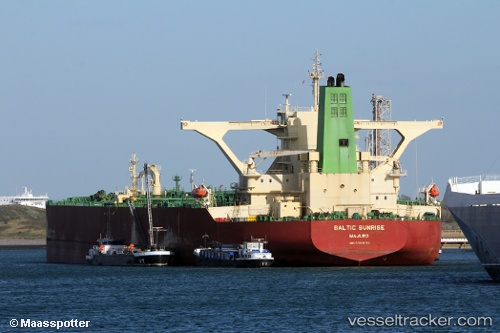
Vessel profile: URANUS is a Crude Oil Tanker with dimensions m x m.
This page combines live AIS, route history, probable destination signals, nearby traffic, and port activity for practical vessel monitoring.
The current position of vessel URANUS is 1.96141 lat / 104.85361 lng. Updated: 2026-05-23 08:10:10 UTCNearest reference points:
- 55 nm NE of PENGERANG
- 53 nm NE of PENGERANG
- 51 nm NE of PENGERANG
Currently sailing under the flag of Aruba ![]()
Details:
Live Vessel URANUS Analytics (details, animations, etc.)
Recent AIS points (UTC):
2026-05-23 05:03:21 UTC · 1.95739, 104.84932 · SOG 0.3 kn · COG -1°2026-05-23 06:02:13 UTC · 1.95500, 104.84833 · SOG 0 kn · COG -1°
2026-05-23 07:25:34 UTC · 1.95660, 104.86461 · SOG 0.2 kn · COG 159°
2026-05-23 08:10:10 UTC · 1.96141, 104.85361 · SOG 0.3 kn · COG 67°