 HARBOUR YOTTA
Current Status
Where is the vessel?
HARBOUR YOTTA is currently in 13 nm NE of Senari - Sarawak, based on AIS data received about 14h ago.
Latest AIS update:
Current position: 1.79833° N, 110.53833° E (13 nm NE of Senari - Sarawak)
Average speed (last 7 days): Loading…
Average speed (last 30 days): Loading…
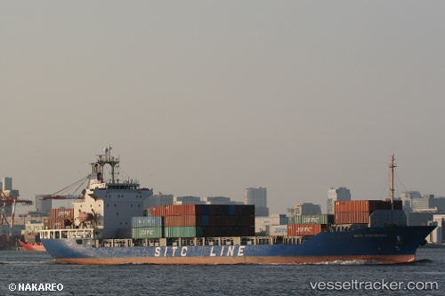
Vessel profile: HARBOUR YOTTA is a Container Ship with dimensions m x m.
This page combines live AIS, route history, probable destination signals, nearby traffic, and port activity for practical vessel monitoring.
The current position of vessel HARBOUR YOTTA is 1.79833 lat / 110.53833 lng. Updated: 2026-06-04 12:16:37 UTCNearest reference points:
- 17 nm SW of Sanggau
- 12 nm SE of PONTIANAK
- 28 nm SW of BINTULU
Currently sailing under the flag of Malaysia ![]()
Details:
Live Vessel HARBOUR YOTTA Analytics (details, animations, etc.)
Recent AIS points (UTC):
2026-06-04 08:04:40 UTC · 1.79667, 110.53667 · SOG 0 kn · COG -1°2026-06-04 09:58:38 UTC · 1.79667, 110.53667 · SOG 0 kn · COG -1°
2026-06-04 10:46:41 UTC · 1.79667, 110.53667 · SOG 0 kn · COG -1°
2026-06-04 12:16:37 UTC · 1.79833, 110.53833 · SOG 0 kn · COG -1°