 EMMA A
Current Status
Where is the vessel?
EMMA A is currently in Near Ambarli, based on AIS data received about 14h ago.
Latest AIS update:
Current position: 40.96065° N, 28.66925° E (Near Ambarli)
Average speed (last 7 days): Loading…
Average speed (last 30 days): Loading…
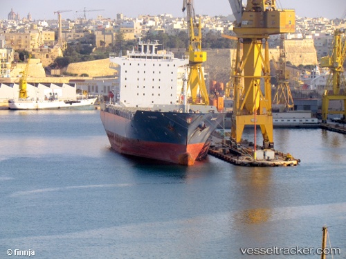
Vessel profile: EMMA A is a Container Ship with dimensions 213m x 32m.
This page combines live AIS, route history, probable destination signals, nearby traffic, and port activity for practical vessel monitoring.
The current position of vessel EMMA A is 40.96065 lat / 28.66925 lng. Updated: 2026-05-19 23:42:15 UTCNearest reference points:
- Near Ambarli
- Near Küçükçekmece
- Near Kumport
Currently sailing under the flag of Malta ![]()
EMMA A built in 2007 year
Deadweight:
38547 tDetails:
Live Vessel EMMA A Analytics (details, animations, etc.)
Recent AIS points (UTC):
2026-05-19 20:07:58 UTC · 40.96062, 28.66925 · SOG 0 kn · COG 359°2026-05-19 21:58:29 UTC · 40.96062, 28.66926 · SOG 0 kn · COG 359°
2026-05-19 22:33:15 UTC · 40.96061, 28.66927 · SOG 0 kn · COG 359°
2026-05-19 23:42:15 UTC · 40.96065, 28.66925 · SOG 0 kn · COG 359°