 Xin Nan Sha
Current Status
Where is the vessel?
Xin Nan Sha is currently in 164 nm SE of Honghai, based on AIS data received about 14h ago.
Latest AIS update:
Current position: 18.03333° N, 113.34667° E (164 nm SE of Honghai)
Average speed (last 7 days): Loading…
Average speed (last 30 days): Loading…
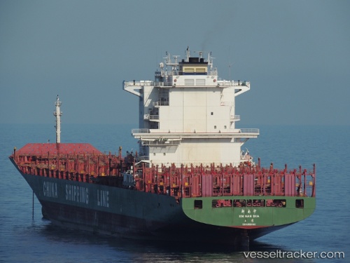
Vessel profile: Xin Nan Sha is a Container Ship with dimensions 263m x 32m.
This page combines live AIS, route history, probable destination signals, nearby traffic, and port activity for practical vessel monitoring.
The current position of vessel Xin Nan Sha is 18.03333 lat / 113.34667 lng. Updated: 2026-05-20 04:43:46 UTCNearest reference points:
- 123 nm S of Shadi
- 157 nm SE of Xincun
- 37 nm SE of Houan
Currently sailing under the flag of China ![]()
Xin Nan Sha built in 2005 year
Deadweight:
52191 tDetails:
Live Vessel Xin Nan Sha Analytics (details, animations, etc.)
Recent AIS points (UTC):
2026-05-20 02:03:29 UTC · 17.38472, 113.27453 · SOG 14.3 kn · COG 5°2026-05-20 02:10:40 UTC · 17.41364, 113.27779 · SOG 14.5 kn · COG 6°
2026-05-20 03:34:45 UTC · 17.75500, 113.31833 · SOG 14 kn · COG -1°
2026-05-20 04:43:46 UTC · 18.03333, 113.34667 · SOG 14 kn · COG -1°