 Liberty
Current Status
Where is the vessel?
Liberty is currently in 200 nm E of Coral Sea, based on AIS data received about 14h ago.
Latest AIS update:
Current position: 17.91233° S, 154.18843° E (200 nm E of Coral Sea)
Average speed (last 7 days): Loading…
Average speed (last 30 days): Loading…
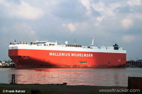
Vessel profile: Liberty is a Vehicles Carrier with dimensions 200m x 199m.
This page combines live AIS, route history, probable destination signals, nearby traffic, and port activity for practical vessel monitoring.
The current position of vessel Liberty is -17.91233 lat / 154.18843 lng. Updated: 2026-05-20 13:54:59 UTCNearest reference points:
- 153 nm NE of Coral Sea
Currently sailing under the flag of USA ![]()
Liberty built in 2006 year
Deadweight:
19628 tDetails:
Live Vessel Liberty Analytics (details, animations, etc.)
Recent AIS points (UTC):
2026-05-20 10:53:53 UTC · -17.16167, 154.23167 · SOG 14 kn · COG -1°2026-05-20 12:02:20 UTC · -17.44078, 154.21172 · SOG 15 kn · COG 178°
2026-05-20 13:13:55 UTC · -17.74001, 154.19977 · SOG 15 kn · COG 178°
2026-05-20 13:54:59 UTC · -17.91233, 154.18843 · SOG 15.1 kn · COG 180°