 vesseltracker.com
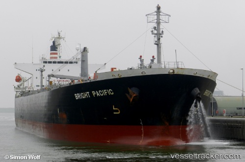
 AYAT
AYAT
Current Status
Where is the vessel?
AYAT is currently in Near JURONG ISLAND, based on AIS data received about 15h ago.
Latest AIS update:
Current position: 1.26385° N, 103.68282° E (Near JURONG ISLAND)
Average speed (last 7 days): Loading…
Average speed (last 30 days): Loading…
Vessel profile: AYAT is a Oil Products Tanker with dimensions m x m.
This page combines live AIS, route history, probable destination signals, nearby traffic, and port activity for practical vessel monitoring.
The current position of vessel AYAT is 1.26385 lat / 103.68282 lng. Updated: 2026-05-18 11:24:33 UTCNearest reference points:
- Near Pulau Ayer Chawan
- Near JURONG ISLAND
- Near Tuas
Currently sailing under the flag of Saint Kitts and Nevis ![]()
Details:
Live Vessel AYAT Analytics (details, animations, etc.)
Recent AIS points (UTC):
2026-05-18 07:51:34 UTC · 1.26388, 103.68287 · SOG 0 kn · COG 132°2026-05-18 09:22:58 UTC · 1.26385, 103.68283 · SOG 0 kn · COG -1°
2026-05-18 10:21:58 UTC · 1.26333, 103.68167 · SOG 0 kn · COG -1°
2026-05-18 11:24:33 UTC · 1.26385, 103.68282 · SOG 0 kn · COG 133°