 GOODSHIP
Current Status
Where is the vessel?
GOODSHIP is currently in 195 nm SE of Ramsgate, based on AIS data received about 14h ago.
Latest AIS update:
Current position: 32.68535° S, 33.52839° E (195 nm SE of Ramsgate)
Average speed (last 7 days): Loading…
Average speed (last 30 days): Loading…
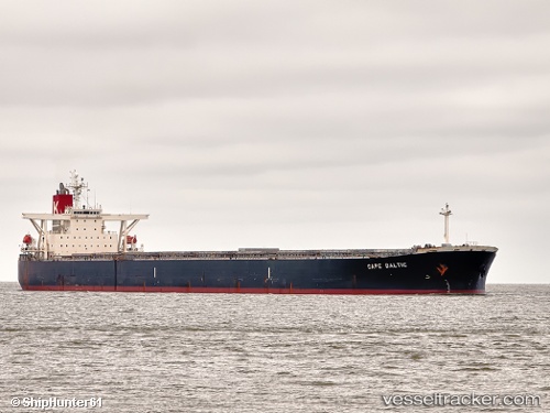
Vessel profile: GOODSHIP is a Bulk Carrier with dimensions 45m x 289m.
This page combines live AIS, route history, probable destination signals, nearby traffic, and port activity for practical vessel monitoring.
The current position of vessel GOODSHIP is -32.68535 lat / 33.52839 lng. Updated: 2026-05-20 19:34:27 UTCNearest reference points:
- 181 nm SE of Hibberdene
- 125 nm SE of Port Edward
Currently sailing under the flag of Liberia ![]()
GOODSHIP built in 2005 year
Deadweight:
177536 tDetails:
Live Vessel GOODSHIP Analytics (details, animations, etc.)
Recent AIS points (UTC):
2026-05-20 15:53:57 UTC · -32.91141, 32.77946 · SOG 10.6 kn · COG 63°2026-05-20 16:10:01 UTC · -32.89475, 32.83260 · SOG 10.9 kn · COG 63°
2026-05-20 18:02:08 UTC · -32.77409, 33.20754 · SOG 11 kn · COG 67°
2026-05-20 19:34:27 UTC · -32.68535, 33.52839 · SOG 10.7 kn · COG 60°