 vesseltracker.com
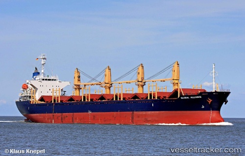
 Amaliya
Current Status
Where is the vessel?
Amaliya is currently in Near Salerno, based on AIS data received less than 1h ago.
Latest AIS update:
Current position: 40.67388° N, 14.74707° E (Near Salerno)
Average speed (last 7 days): Loading…
Average speed (last 30 days): Loading…
Vessel profile: Amaliya is a Bulk Carrier with dimensions 169m x 27m.
This page combines live AIS, route history, probable destination signals, nearby traffic, and port activity for practical vessel monitoring.
The current position of vessel Amaliya is 40.67388 lat / 14.74707 lng. Updated: 2026-05-14 08:24:17 UTCNearest reference points:
- Near Salerno
- Near Castellammare di Stabia
- Near TORRE ANNUNZIATA
Currently sailing under the flag of Malta ![]()
Amaliya built in 2004 year
Deadweight:
28436 tDetails:
Live Vessel Amaliya Analytics (details, animations, etc.)
Recent AIS points (UTC):
2026-05-14 04:36:15 UTC · 40.67388, 14.74708 · SOG 0 kn · COG 340°2026-05-14 05:47:07 UTC · 40.67390, 14.74707 · SOG 0 kn · COG 340°
2026-05-14 08:01:05 UTC · 40.67387, 14.74708 · SOG 0 kn · COG 340°
2026-05-14 08:24:17 UTC · 40.67388, 14.74707 · SOG 0 kn · COG 340°