 ANEMONI
Current Status
Where is the vessel?
ANEMONI is currently in Near ISMAILIA, based on AIS data received about 14h ago.
Latest AIS update:
Current position: 30.61566° N, 32.32327° E (Near ISMAILIA)
Average speed (last 7 days): Loading…
Average speed (last 30 days): Loading…
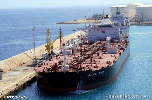
Vessel profile: ANEMONI is a Oil Products Tanker with dimensions m x m.
This page combines live AIS, route history, probable destination signals, nearby traffic, and port activity for practical vessel monitoring.
The current position of vessel ANEMONI is 30.61566 lat / 32.32327 lng. Updated: 2026-05-20 08:09:09 UTCNearest reference points:
- Near SUEZ CANAL
- Near Port Said East
- Near As Suways (Suez)
Currently sailing under the flag of Liberia ![]()
Details:
Live Vessel ANEMONI Analytics (details, animations, etc.)
Recent AIS points (UTC):
2026-05-20 04:26:59 UTC · 31.13617, 32.31880 · SOG 9.1 kn · COG 193°2026-05-20 05:38:38 UTC · 30.96383, 32.31285 · SOG 8.8 kn · COG -1°
2026-05-20 07:33:48 UTC · 30.69188, 32.34189 · SOG 9.1 kn · COG -1°
2026-05-20 08:09:09 UTC · 30.61566, 32.32327 · SOG 5.3 kn · COG -1°