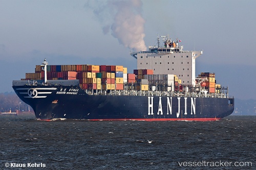
 SM NINGBO
Current Status
Where is the vessel?
SM NINGBO is currently in 41 nm S of TOKACHI, based on AIS data received about 14h ago.
Latest AIS update:
Current position: 41.63496° N, 143.08725° E (41 nm S of TOKACHI)
Average speed (last 7 days): Loading…
Average speed (last 30 days): Loading…
Vessel profile: SM NINGBO is a Container Ship with dimensions 40m x 304m.
This page combines live AIS, route history, probable destination signals, nearby traffic, and port activity for practical vessel monitoring.
The current position of vessel SM NINGBO is 41.63496 lat / 143.08725 lng. Updated: 2026-05-20 04:05:14 UTCNearest reference points:
- 26 nm E of Hachinohe
- Near Kushiro
- 23 nm NE of SAI
Currently sailing under the flag of Korea (Republic of) ![]()
SM NINGBO built in 2006 year
Deadweight:
80866 tDetails:
Live Vessel SM NINGBO Analytics (details, animations, etc.)
Recent AIS points (UTC):
2026-05-20 01:40:45 UTC · 41.63608, 142.08112 · SOG 18.9 kn · COG 90°2026-05-20 02:35:15 UTC · 41.64373, 142.46213 · SOG 19 kn · COG 88°
2026-05-20 03:49:08 UTC · 41.64351, 142.97540 · SOG 18.9 kn · COG 95°
2026-05-20 04:05:14 UTC · 41.63496, 143.08725 · SOG 18.6 kn · COG 95°