 SM YANTIAN
Current Status
Where is the vessel?
SM YANTIAN is currently in 16 nm SE of Point Mugu Nawc, based on AIS data received about 15h ago.
Latest AIS update:
Current position: 33.86803° N, 118.92895° W (16 nm SE of Point Mugu Nawc)
Average speed (last 7 days): Loading…
Average speed (last 30 days): Loading…
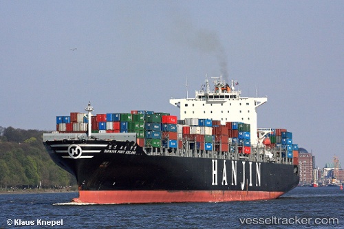
Vessel profile: SM YANTIAN is a Container Ship with dimensions 304m x 40m.
This page combines live AIS, route history, probable destination signals, nearby traffic, and port activity for practical vessel monitoring.
The current position of vessel SM YANTIAN is 33.86803 lat / -118.92895 lng. Updated: 2026-05-19 16:50:22 UTCNearest reference points:
- Near Hueneme
- Near CHANNEL ISLANDS
- Near MARINA DEL REY
Currently sailing under the flag of Korea (Republic of) ![]()
SM YANTIAN built in 2006 year
Deadweight:
80811 tDetails:
Live Vessel SM YANTIAN Analytics (details, animations, etc.)
Recent AIS points (UTC):
2026-05-19 13:40:05 UTC · 34.12086, -119.63242 · SOG 14.9 kn · COG 106°2026-05-19 14:28:16 UTC · 34.07177, -119.39746 · SOG 12.6 kn · COG 106°
2026-05-19 15:43:32 UTC · 33.97189, -119.13716 · SOG 10.8 kn · COG 123°
2026-05-19 16:50:22 UTC · 33.86803, -118.92895 · SOG 11 kn · COG 120°