 CELESTIAL
Current Status
Where is the vessel?
CELESTIAL is currently in 17 nm S of Kiamari, based on AIS data received about 14h ago.
Latest AIS update:
Current position: 24.53635° N, 66.94228° E (17 nm S of Kiamari)
Average speed (last 7 days): Loading…
Average speed (last 30 days): Loading…
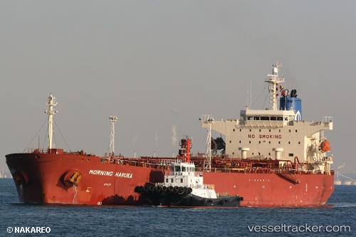
Vessel profile: CELESTIAL is a Oil Products Tanker with dimensions m x m.
This page combines live AIS, route history, probable destination signals, nearby traffic, and port activity for practical vessel monitoring.
The current position of vessel CELESTIAL is 24.53635 lat / 66.94228 lng. Updated: 2026-05-21 02:10:22 UTCNearest reference points:
- 16 nm S of Kiamari
- Near Kiamari
- Near PORT QASIM
Currently sailing under the flag of Panama ![]()
Details:
Live Vessel CELESTIAL Analytics (details, animations, etc.)
Recent AIS points (UTC):
2026-05-20 21:37:23 UTC · 24.53552, 66.94234 · SOG 0.4 kn · COG 291°2026-05-20 22:10:22 UTC · 24.53554, 66.94235 · SOG 0.2 kn · COG 295°
2026-05-20 23:22:21 UTC · 24.53536, 66.94213 · SOG 1.1 kn · COG 310°
2026-05-21 02:10:22 UTC · 24.53635, 66.94228 · SOG 0 kn · COG 272°